Duranbah Surf Report & Forecast
Surf Report, Surf Forecast & Surf Cam


Nearby Spots


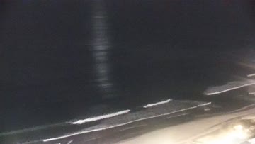
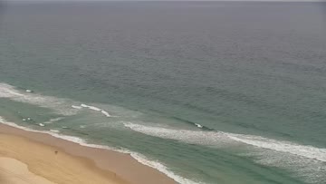
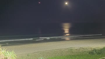
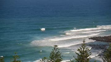


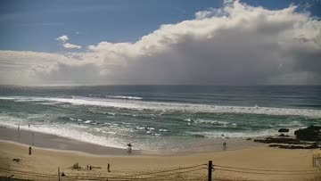
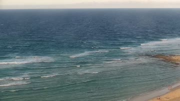

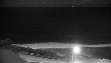
Current Surf Conditions
Condition Rating
Surf Height
4-5FT
Chest to head
Swell
Wind
2KTSSW
3kts gusts, Offshore

Tide
Temperature
69°F

2mm wetsuit

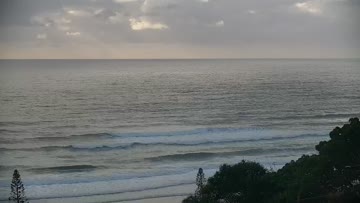
Gold Coast Forecast
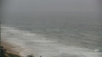
Max Stanley-Jones •Today
Light winds, calm morning and a few residual sets in the mix. Best aim for the low tide for size.
The E'ly swell is tapering back into the smaller size range. Still a couple of rippable sets in the head high range through the tops of the points. More manageable conditions down the line although still be conscious of the energy and water moving out there.
Light WSW winds at dawn are keeping plenty of clean conditions for the open stretches, bit of bump across the tops of the southern points. Grab a wave across the morning low tide as onshore winds through the afternoon will add some texture.
Duranbah Surf Forecast
LOTUS Model - our advanced surf forecasting system designed specifically for surfers...
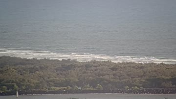
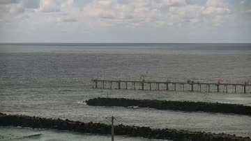
Duranbah Surf Guide
Duranbah or D-Bah as it’s locally known, is situated on the north side of the Tweed River. The easterly facing 350m (0.2 mile) stretch of sand is bang on the NSW and QLD border. The south end of the beach is the river mouth break wall, while the north end is wrapped by Point Danger. 400m (0.24 miles) to the north lies the infamous Snapper Rocks. The combination of an offshore sandbar and the tweed river break wall mixes up the swell and produces consistent A-frame peaks. Its easterly aspect make... Read more