Queen Street Surf Report & Forecast
Surf Report and Surf Forecast
Nearby Spots

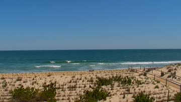
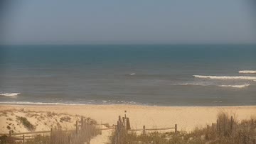
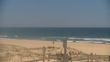
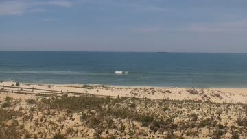
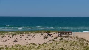
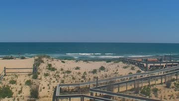
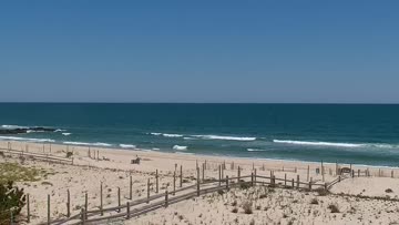

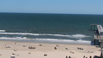
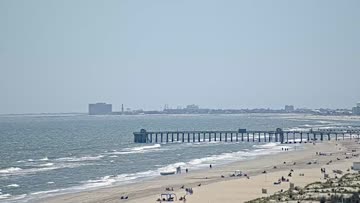
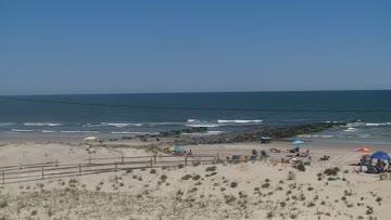
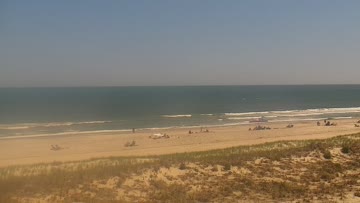
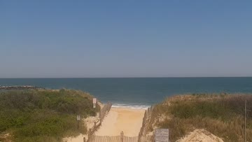
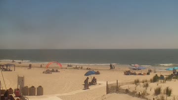
Current Surf Conditions
Local time:
Condition Rating
LOTUS Forecast
Surf Height
2-3FT
Thigh to waist
LOTUS Forecast
Swell
4.6FT5s
S181º
0.3FT9s
SE129º
LOTUS Forecast
Wind
19KTSSSW
27kts gusts, Onshore
Model Forecast

Tide
4.0FT
Temperature
76°F

83ºF
1mm wetsuit

Queen Street Surf Forecast
LOTUS Model - our advanced surf forecasting system designed specifically for surfers...
Queen Street Surf Guide
Queen Street offers difficult lefts that jack up suddenly then wall up down the beach on big nor'easters. Once you get through the takeoff and first section, the wave becomes rippable. Queen Street doesn't show its full potential until the swell is overhead. It's also a popular longboarding spot on smaller summer days. Crowds are heavy on those days, with lots of grizzled longboarders and frantic groms. Things thin out when the surf gets serious. Read more