Goldenwest Surf Report & Forecast
Surf Report, Surf Forecast & Surf Cam
Nearby Spots

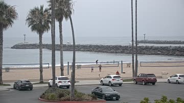


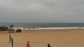


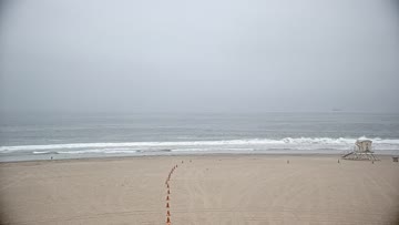
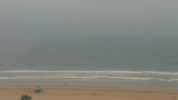
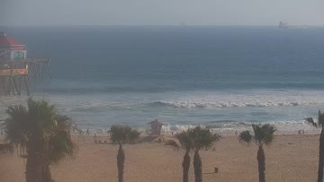
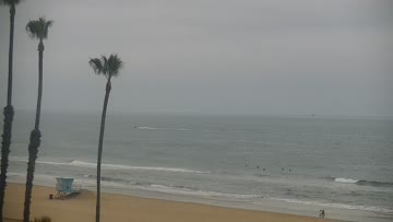
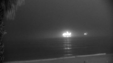

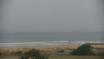
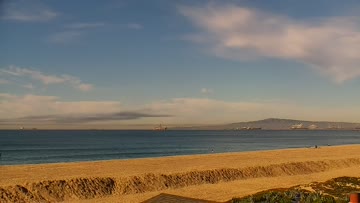
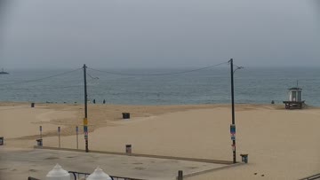
Current Surf Conditions
Condition Rating
Surf Height
2-3FT+
Thigh to stomach
Swell
Wind
8KTSSSW
8kts gusts, Onshore

Tide
Temperature
63°F

3/2mm wetsuit


North Orange County Forecast
Matt Kibby •Today
Playful leftovers, clean conditions this AM. Not as much NW windswell so shape straightens out.
Dawn to 10am: Mix of mainly SSW swell and some smaller NW windswell continues to offer rideable waves to start the weekend. Size for average breaks is still running waist-chest high, while best breaks occasionally hit head high. Shape isn't as broken up for the beachbreaks and the spots with structure (jetty/pier/etc.) get the best shape. Light S wind expected through the earlier morning, some texture by mid-AM.
Afternoon Outlook: Light to moderate S/SW wind in the afternoon lightens evening.
Goldenwest Surf Forecast
LOTUS Model - our advanced surf forecasting system designed specifically for surfers...
Goldenwest Surf Guide
Find your rip bowl and enjoy. This is the northernmost stretch of HB before you make your way to the Cliffs, and it loves a combo swell and low tide. It is rideable here almost as much as the Pier, though not usually as shapely, and it packs a few feet more size on a long period WNW swell during the winter. But, as alluded to, is prone to large rips and plenty of current when the swell is pumping. Open corners are hard to come by unless there are a few different swells running, but it is fun to... Read more