Huntington St. Surf Report & Forecast
Surf Report, Surf Forecast & Surf Cam
Nearby Spots

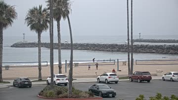


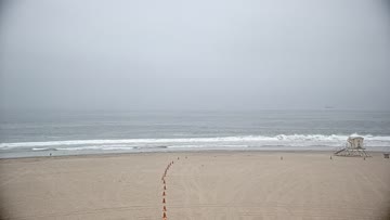
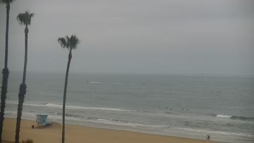

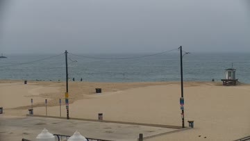
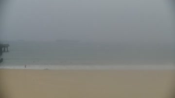
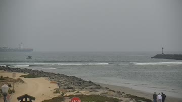
Current Surf Conditions
Condition Rating
Surf Height
5-7FT
Head to 2ft overhead
Swell
Wind
4KTSS
4kts gusts, Onshore

Tide
Temperature
68°F

2mm wetsuit

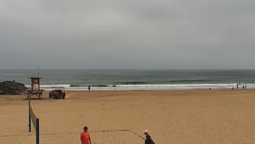
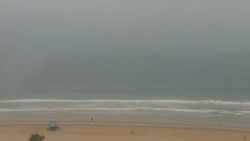
North Orange County Forecast
Schaler Perry •Today
Rippable southerly swell mix is cleanest through the morning window. Onshore flow and texture in PM
Dawn to 10am: Likely to be a touch of SE/S wind lump but it should be manageable through much of the morning. SSW-SW swell from Elida will slowly ease, while some new Southern Hemi swell is filling in to help keep up surf heights. Pretty good size at many breaks (waist-chest-head high). Top spots still see some overhead sets. Shape is best for spots with structure but there's corners around the beachbreaks.
Afternoon Outlook: Light to moderate WSW wind builds for the afternoon and evening.
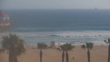
Huntington St. Surf Forecast
LOTUS Model - our advanced surf forecasting system designed specifically for surfers...
Huntington St. Surf Guide
Dependably average beachbreak. Occasionally good, when a combo swell aligns with offshores. Read more