Hatteras Ferry Docks Surf Report & Forecast
Surf Report and Surf Forecast
Nearby Spots


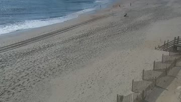


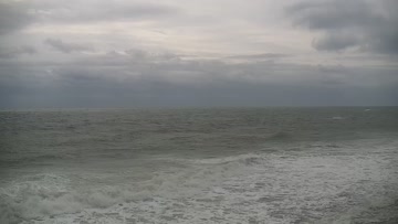
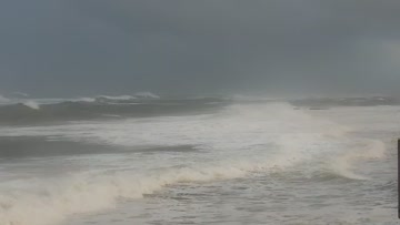
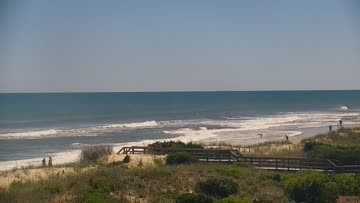
Current Surf Conditions
Local time:
Condition Rating
LOTUS Forecast
Surf Height
2-3FT+
Thigh to stomach
LOTUS Forecast
Swell
4.4FT6s
SSW210º
1.2FT8s
SE129º
LOTUS Forecast
Wind
20KTSSW
24kts gusts, Onshore
Model Forecast

Tide
3.6FT
Temperature
85°F

83ºF
Rashguard


Hatteras Island Forecast
Tim Kent •Today
Minor sideshore southerly windswell at lunch. Surf rebuilds over the PM, biggest late in the day.
Midday: Mostly knee high surf with a few bigger sets for Avon-Buxton areas that can handle the higher tide at lunch. Conditions are side textured with building SW/SSW winds. Not much to it, but not flat.
Afternoon Outlook: We'll get stronger SSW winds to build over the afternoon and that sets up another round of developing windswell, mainly in the southern part of the region, but with poor conditions.
Hatteras Ferry Docks Surf Forecast
LOTUS Model - our advanced surf forecasting system designed specifically for surfers...