Waves and Salvo Surf Report & Forecast
Surf Report and Surf Forecast
Nearby Spots


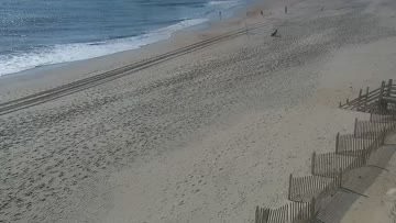


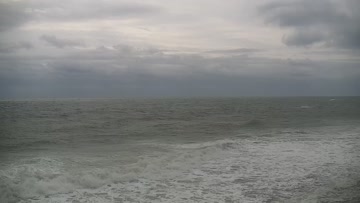
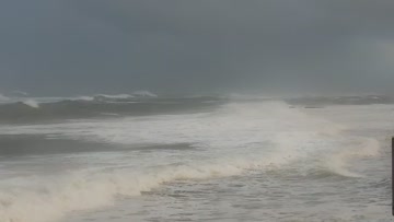
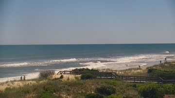
Current Surf Conditions
Condition Rating
Surf Height
1-2FT
Knee to thigh
Swell
Wind
18KTSSW
24kts gusts, Offshore

Tide
Temperature
83°F

Rashguard


Hatteras Island Forecast
Tim Kent •Today
Minor sideshore southerly windswell at lunch. Surf rebuilds over the PM, biggest late in the day.
Midday: Mostly knee high surf with a few bigger sets for Avon-Buxton areas that can handle the higher tide at lunch. Conditions are side textured with building SW/SSW winds. Not much to it, but not flat.
Afternoon Outlook: We'll get stronger SSW winds to build over the afternoon and that sets up another round of developing windswell, mainly in the southern part of the region, but with poor conditions.
Waves and Salvo Surf Forecast
LOTUS Model - our advanced surf forecasting system designed specifically for surfers...
Waves and Salvo Surf Guide
Heading south from the Rodanthe Pier you can drive on through to Waves. Any town with a name like this needs to be checked out. You might want to stop at the KOA campground, which was the best spot on the island for years. It attracted so many tourists one summer, locals aptly named it "Kooks of America." These beaches have the potential to house the most playful sandbars of the summertime. Sheet glass, thin-lipped magic, almost like a smokin' California beachbreak. It's happened before so if yo... Read more